![]()
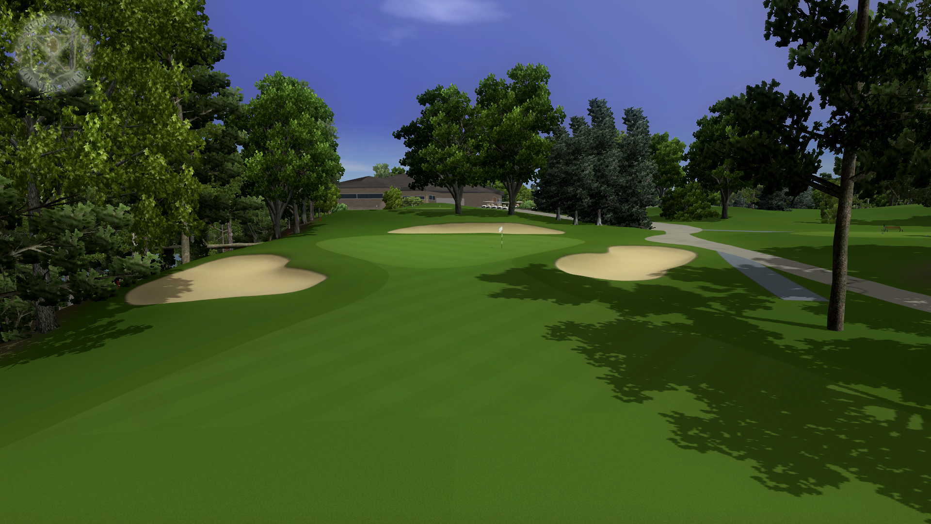
Bull's Eye Country Club (102 MB) Tournament Edition (104 MB)
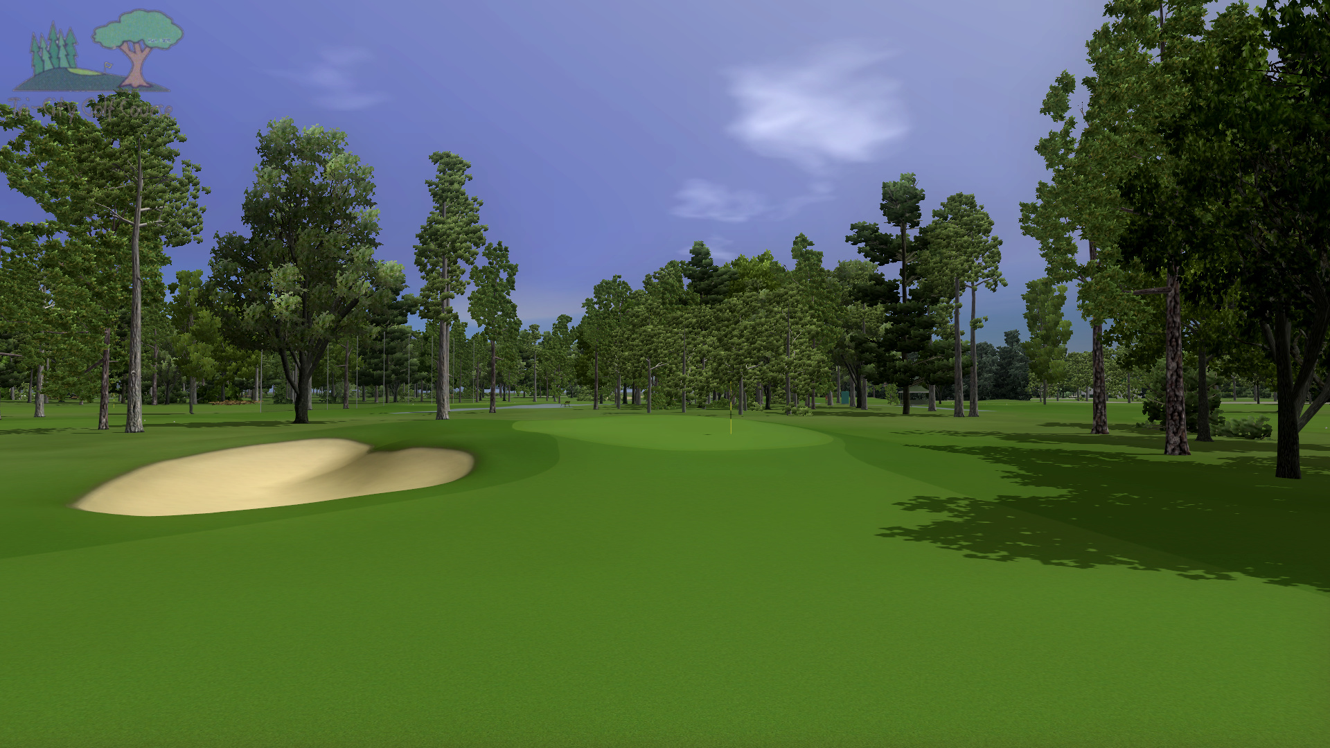
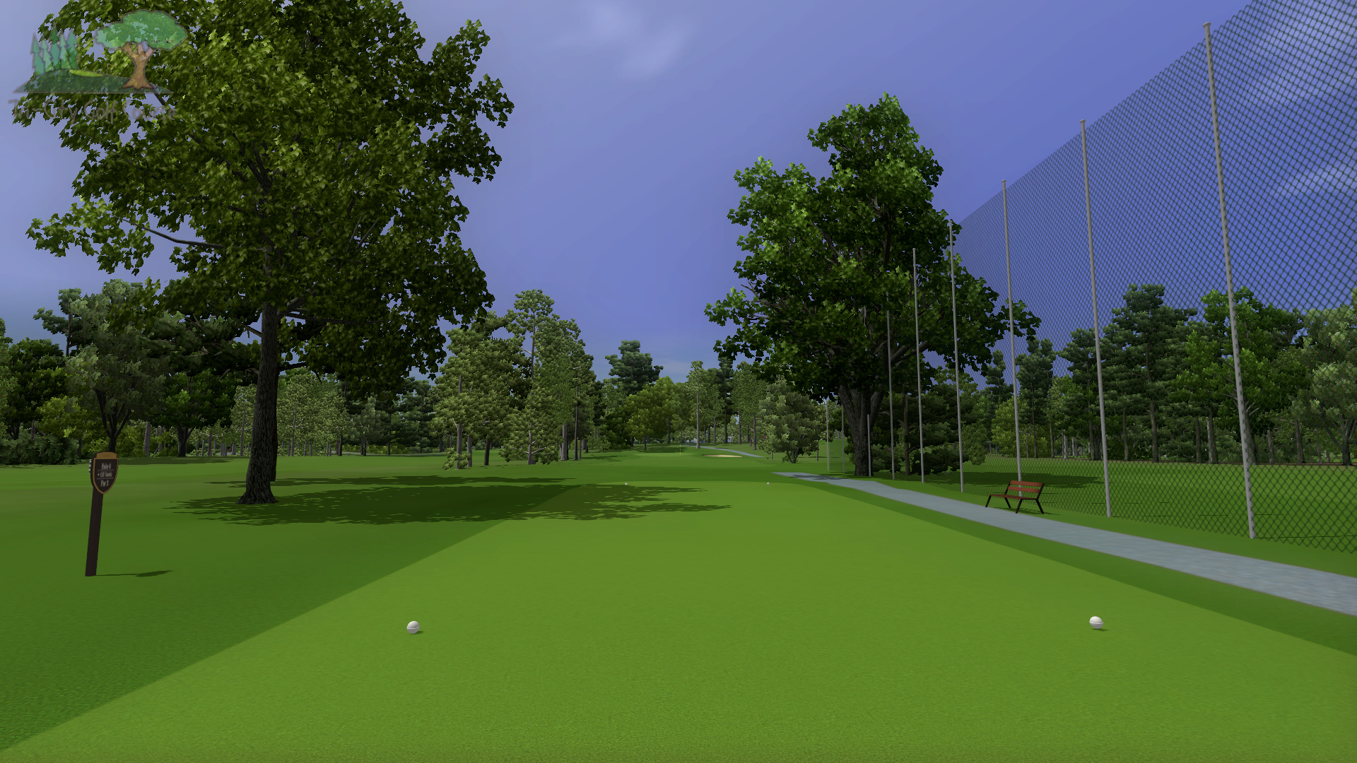
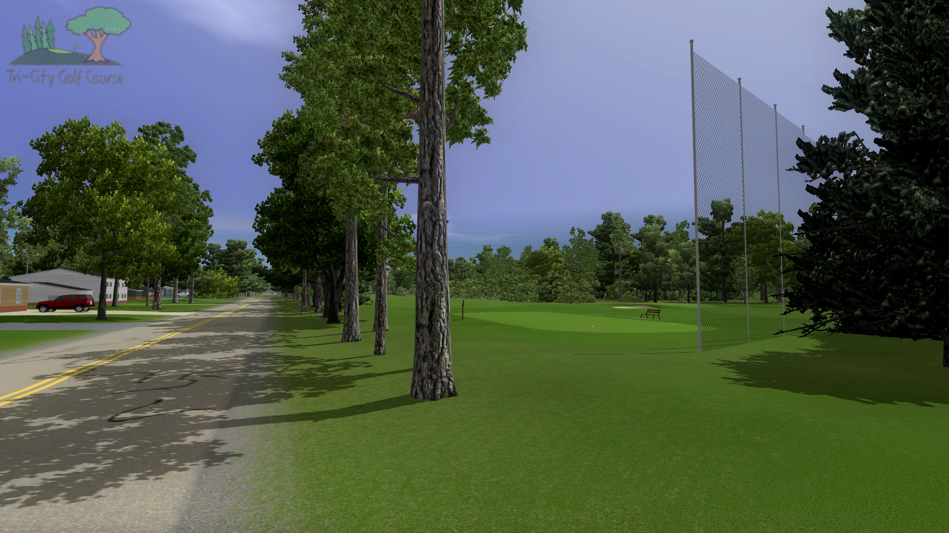
Tri-City Golf Course (112 MB) Tournament Edition (114 MB)
| Architect: | Leonard Macomber / E. Lawrence Packard (Renovation) / Roger Packard (Tri-City) |
|---|---|
| Year Built: | 1927 / 1934 (Tri-City) |
| Website: | http://www.bullseyecc.com/ |
| Scorecard: | Coming Soon |
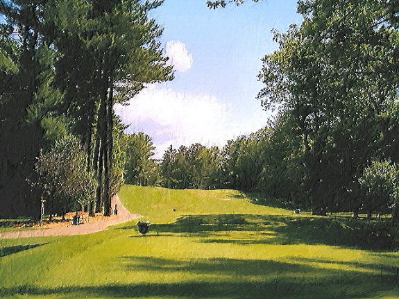
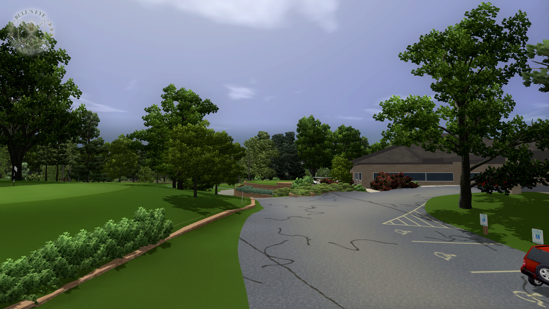
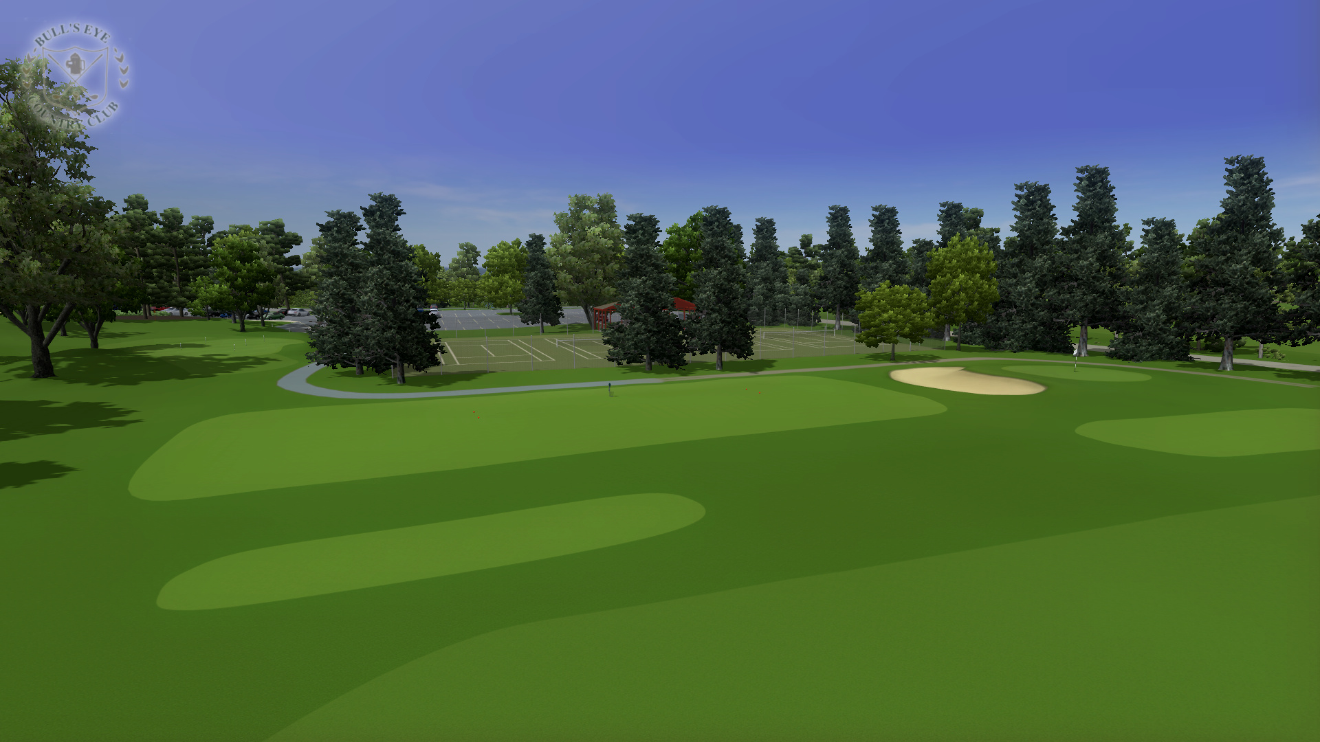
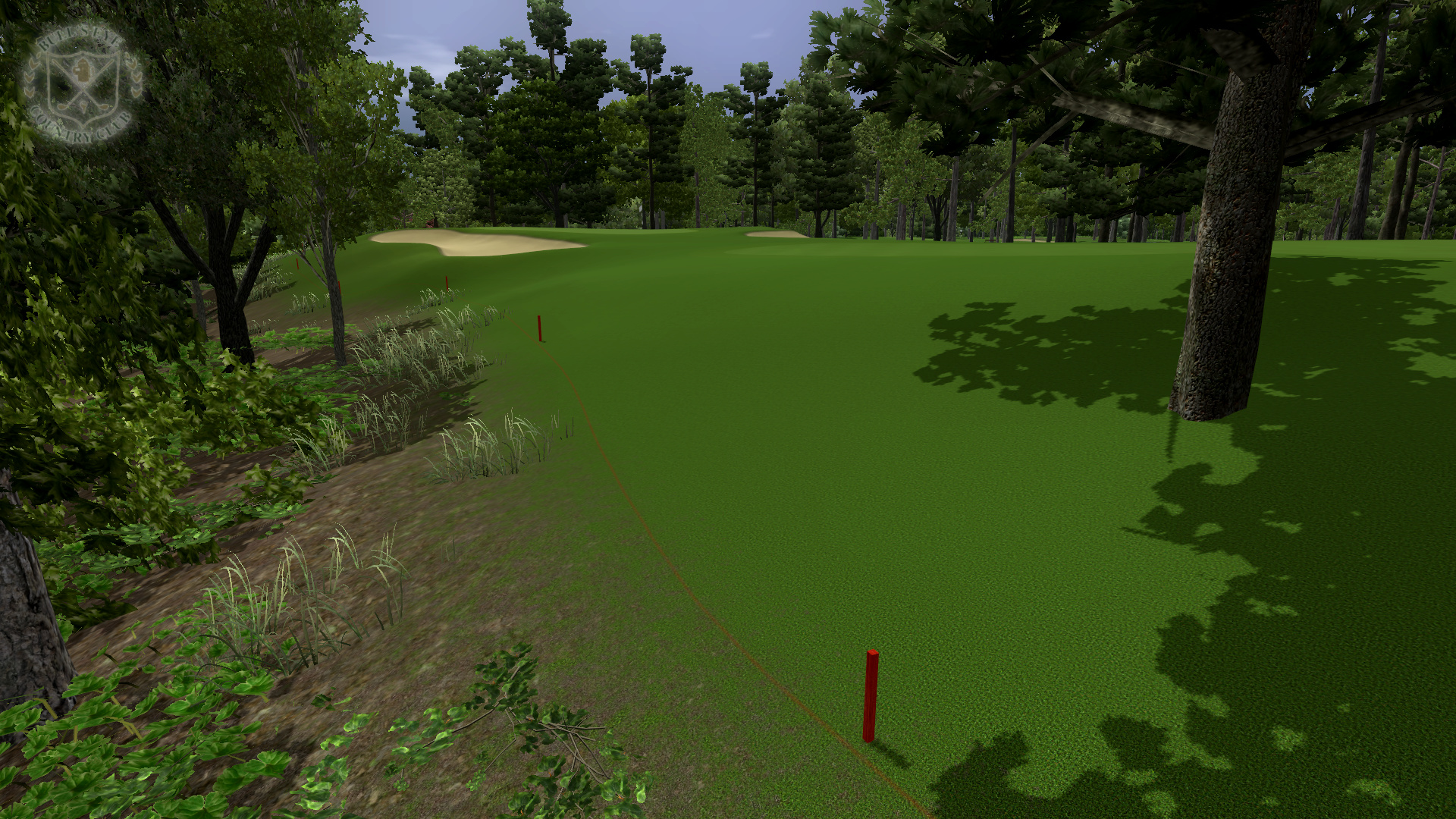
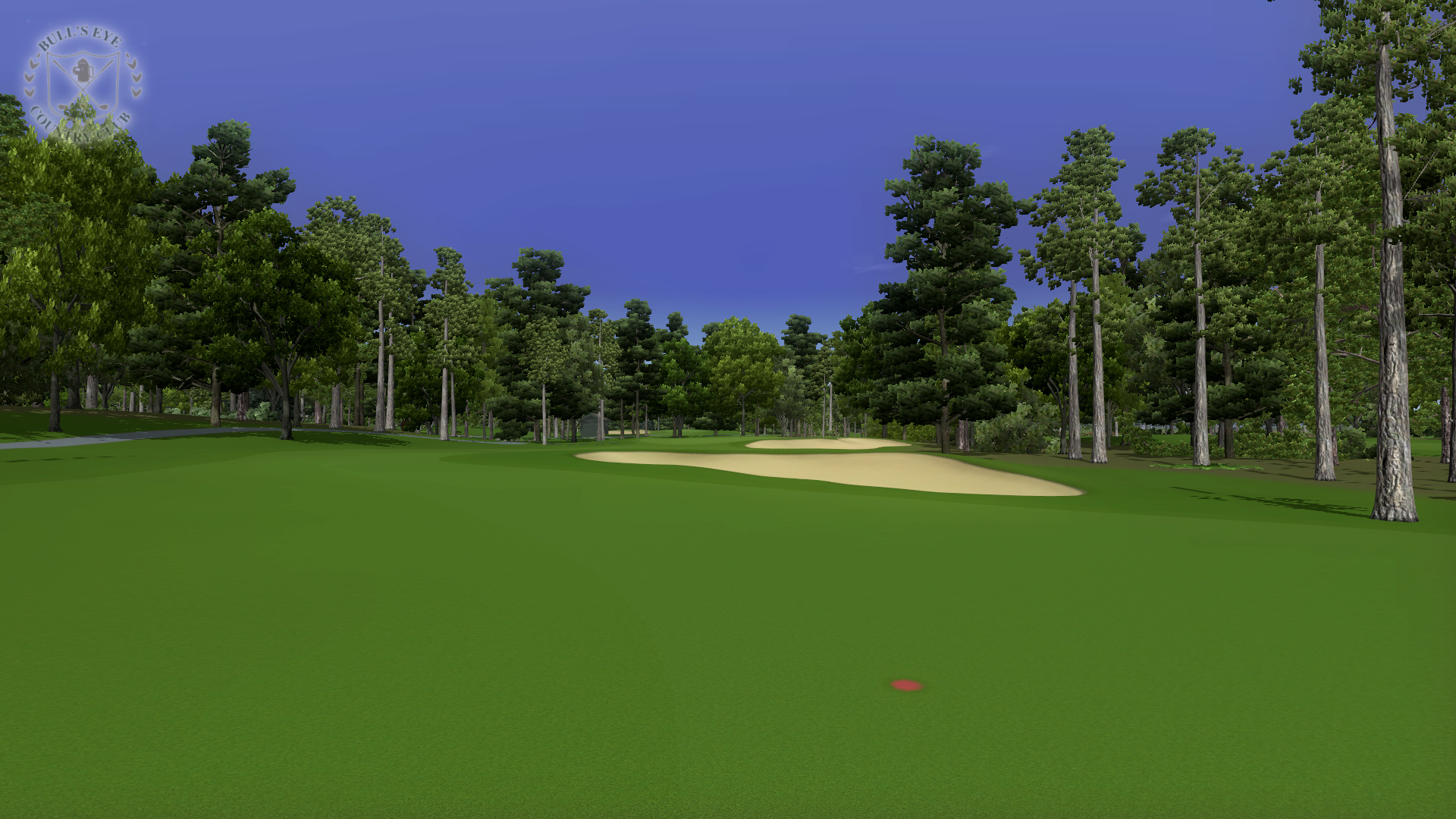
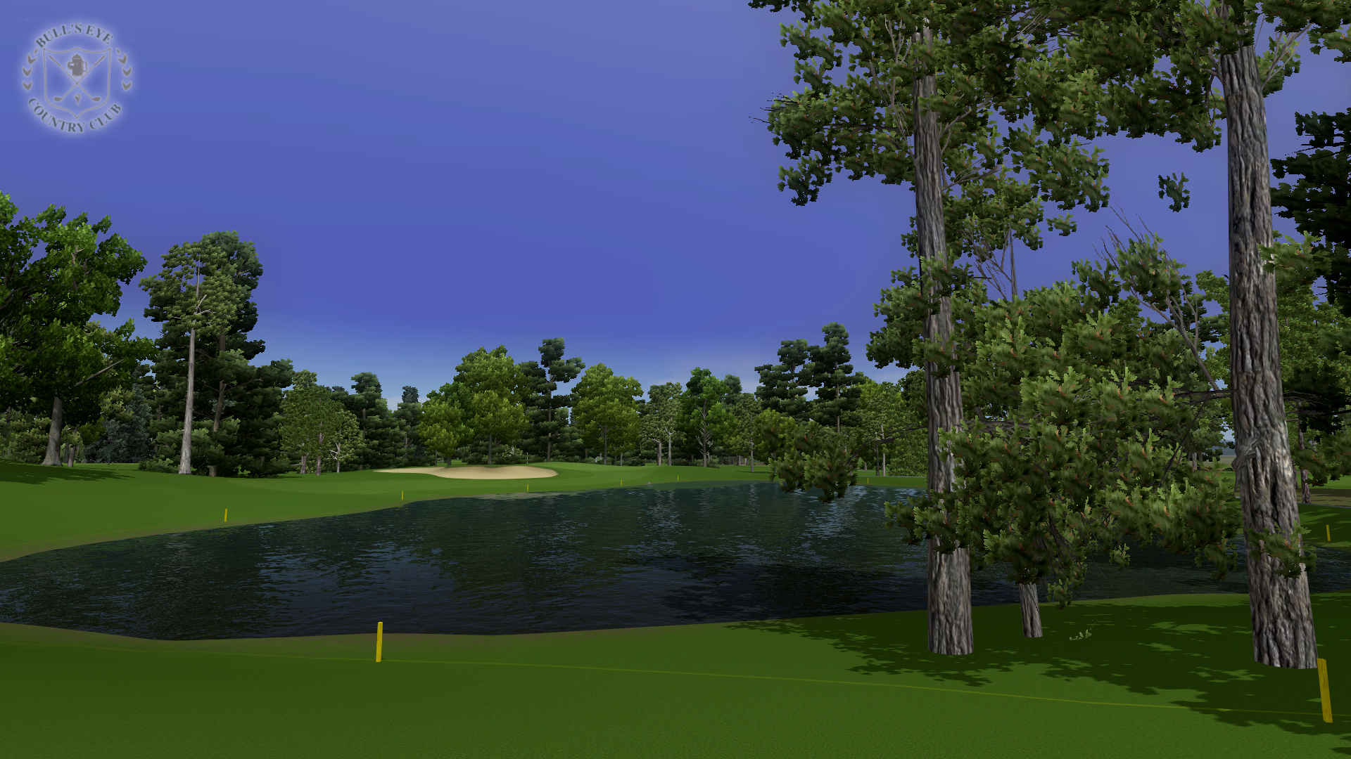
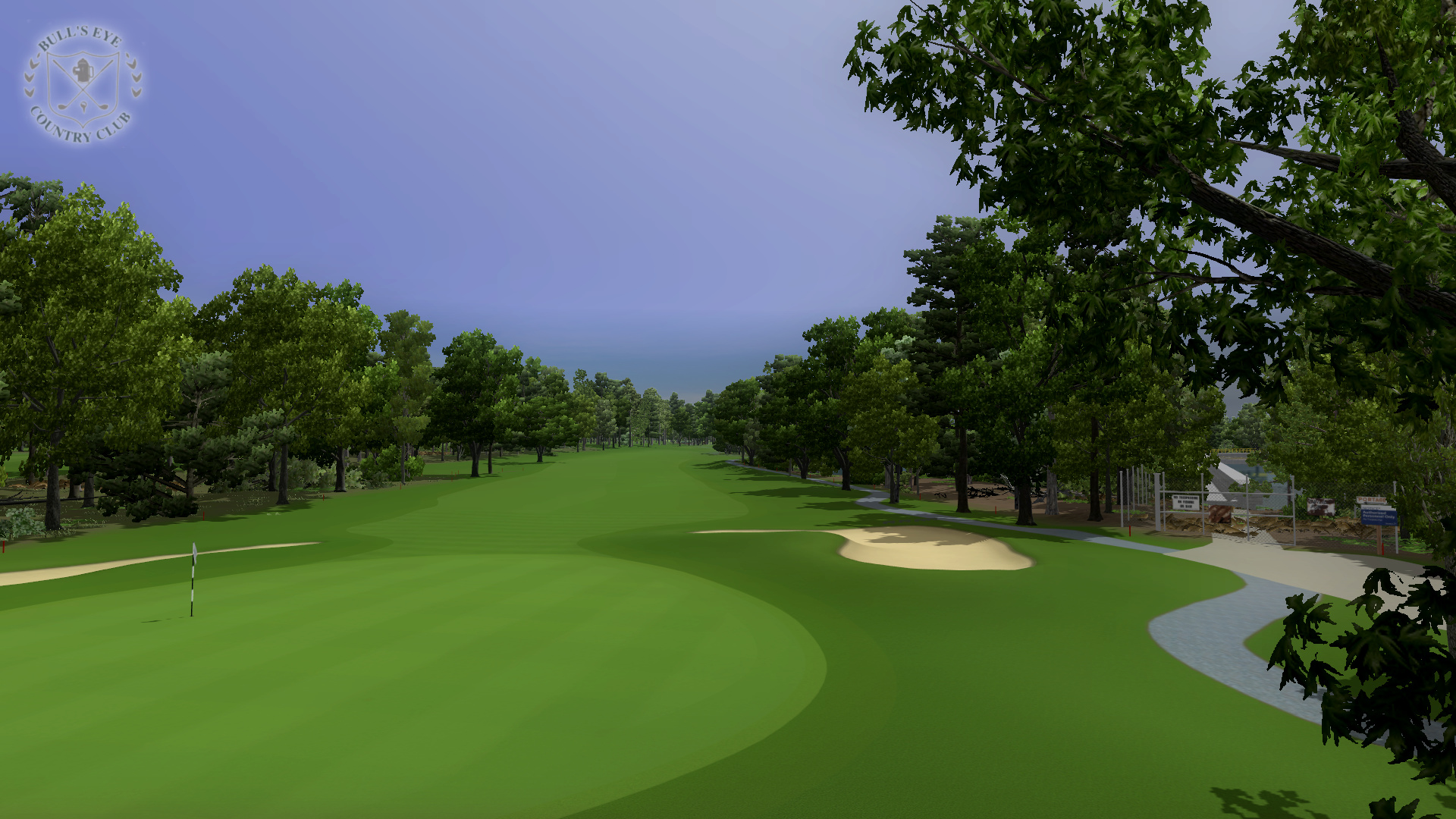
Bull's Eye Country Club is a real private course located in Wisconsin Rapids, WI. It plays as a par 72 and is 6,622 yards from the back tee.
Tri-City Golf Course is a real 9 hole course owned by Bull's Eye and operated as a public course. It plays as a par 34 and is 2,814 yards from the back tee.
Bull's Eye Country Club Yardage Book - Hole descriptions and graphics.
History of the Course and the Architect
Since WGC allows for 27 holes in one course file, Bull's Eye and Tri-City were done in the same file, however they were split into different published files for performance optimization reasons.
Recommended normal course conditions –
| Wind: | Medium |
|---|---|
| Greens: | Dry |
This rendition is mostly true to the original course. On Tri-City (the third 9), I included some historical bunkers that are no longer present on the course. As I did in The Ridges for WGC, I created a fictional "WGC" tee on a number of holes to keep the hazards in play for the 300+ yard drives of WGC. Also included are the real back tees which are the blue tees. A new concept for this course is the combo tees. These are used similar to how the tees are moved around in tournaments from day to day and include some back, some middle, and some up tees on different holes. This provides variety to the layout at longer lengths. It is at the expense of the traditional all middle or all up tees but these hardly get used or make sense with the long drives of WGC. I may make another version for simulator play with the traditional sets of tees in the future since they make more sense when you hit the ball the same distances as you hit it in real life.
There are five pins on each hole: one easy pin, two normal pins and two hard pins. I try to provide a variety of easy, average, and difficult pins in each set so none of the sets necessarily adhere to the easy, normal and hard labels as whole. For the pins with more than one set it is possible to choose which one you play. If you load the game and pick your settings without going back a screen you always get the first set. If you click next on the screen where you choose the pin and then click back to come back to that screen, it changes to the second set. If you click next and back again it switches back to the first pin. It switches back and forth each time you click back. The first hard pin set is the same pin positions that were used in 2015 WSGA State Amateur Qualifier.
| Starting Date: | 12/14/14 |
|---|---|
| Ending Date: | 11/14/17 |
In November of 2013 I received the GIS program Global Mapper as part of compensation for creating topographic maps of the Sand Valley Golf Resort property for Oliphant Golf. Besides allowing me to create topographic maps from LiDAR, Global Mapper is incredibly useful for processing LiDAR and other elevation data for use in creating golf courses for games and simulators. During the next year I learned how to use Global Mapper, studied GIS as it relates to golf course design, and developed a method for importing LiDAR data into WGC so I no longer needed to rely on others to do this for me.
After a year of research I was ready to start another project and I asked Steve Faupel to create objects for this course in anticipation of beginning it. Work on my part first began in December of 2014. As with The Ridges for WGC, I initially used the elevations from my PGA 2000 version of Bull's Eye/Tri-City as a starting point. In this case my old version was created prior to the ability to use DEM data and was therefore created based off of USGS topographic maps. Early on I discovered a major inaccuracy in my PGA 2000 version. I created the elevations based on every contour line representing 10 feet when in fact every line represented 5 feet, meaning the elevations are double the correct height in the PGA 2000 version of the courses. The green contours on Bull's Eye were also completely fictional because I never played the course yet at the time the PGA 2000 version was made. Since I'm still more comfortable using the elevation tools in PGA 2000, the corrections to compensate for the error and the new green contour work were done in the PGA 2000 architect prior to importing it into WGC. The DXF file put out by the PGA 2000 architect needs processing in order to import it into WGC and this time I used Global Mapper to do this. Global Mapper was able to process it much quicker and even allowed me to modify the shape of it for better accuracy by rectifying it to fit a satellite image more closely. In the end this work wasn't used in the WGC version as LiDAR became available before the completion of the project but it still may result in a future updated release of the courses for PGA 2000.
In early 2015 I worked on retracing the holes in QCAD and creating the land formations needed for placing the dam objects Steve created for the Wisconsin River left of the 17th hole. I wanted to do a much better job with the areas under trees on this course so it didn't look quite so bare. That process started with working on a mix of trees and undergrowth with fallen trees and brush. I also turned on grass objects on the shapes under the trees to create grass, ivy, and ferns, a move that later proved to cause problems. Next I began working on creating new textures that blended leaves and dirt, grass and dirt, and pine needles and dirt. It was a difficult balance to avoid a repeating pattern look without scaling them too big and loosing too much resolution. Ultimately I ended up with 512 pixel resolution textures (due to 1024 pixel textures causing performance issues) blended together using GIMP's Resynthesizer plugin and scaled at 3.0 in WGC. I also needed a better transition from these textures to regular rough that didn't look blurry in the distance. I ended up using a border with the same texture scaled at 2.0 and creating partially overlapping blends from the primary shape and the border. A new mask was also created for these blends, a patchy texture I created with brushes in Paint Shop Pro that transitioned from thicker to thinner. At this time Brian Silvernail also helped me create a more realistic bark texture for the White Pine model included with WGC.
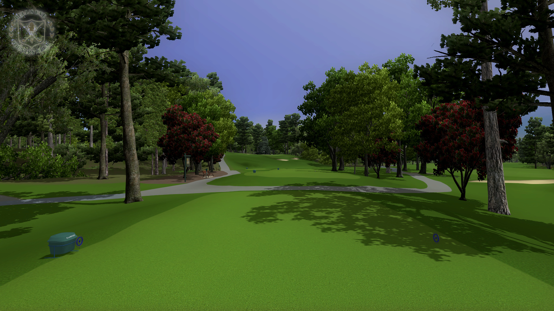
Thanks to my connection with Oliphant who was now managing Bull's Eye, I was in communication with Brian Jensen, the General Manager of Bull's Eye. In May of 2015 an arrangement was made for me to receive a year of membership at Bull's Eye in exchange for producing video flyovers of the holes from my WGC version of the course and creating graphics for a yardage book. At this time I also quit my job to focus on freelance work in various activities that cross my passion for golf with my experience with computers and digital media, creating golf courses for simulators, still and video renderings of golf holes, yardage books, and topographic maps.
The summer of 2015 was spent taking reference pictures at Bull's Eye and working on the fine detail planting of specific trees around the edges of holes. Crashing issues came up in late July early betas. To resolve this I reduced the number of control points in the shapes and developed new blend textures to create the shaded cut look to the edges of fairways, tees, and greens that didn't rely on an extra border texture. It turned out I liked the subtler look this brought to the cut edges anyway. In late summer and early fall I began adding fine details to push the visual look of the course. These details included adding painted hazard lines, properly sized paint for road centerlines and parking lots, gravel shoulders along roads, signs and painted lines for handicap parking, faded asphalt in parts of the parking lot, tar sealing cracks in the parking lot and road, and dry circles on the greens representing old hole plugs. In November 2015 I did the pano based on photos taken in September 2013 of horizon trees at the Sand Valley property. In the pano I used a transition of blue sky to transparent background above the trees, a technique developed by Brian Silvernail to give the sky a better hue on the horizon.
I decided to hold off on continuing at this point because in the spring of 2015 LiDAR was scanned in Wood County, the county in Wisconsin that Bull's Eye and Tri-City are in, and access to it was coming. After communicating with Justin Conner, the Land Records Coordinator in Wood County, I was able to get early access to it in January of 2016. I was able to import the LiDAR into the latest course file, replacing the existing elevations imported from PGA 2000. This meant that only limited new work was required to use the data. Some rework that was required included the land formations that allowed positioning of the dam objects on the Wisconsin River and the sharp edges in the terrain to position the rock wall objects around the first tee. As good a job as I thought I did creating the green contours by hand, once the LiDAR was imported it was immediately obvious to someone who played the course in real life that they were better and more accurate now. They came in so well that the greens needed no work. This experience makes me hesitate to do any real course again without LiDAR or other high resolution elevation data. Today, thanks to our greater capabilities of accuracy, real courses without high resolution data feel more like fictional courses based on real routings rather than actual renditions of real courses. In February of 2016 I created the yardage book using Global Mapper, LiDAR, and the shapes I traced in QCAD. In March and April I worked on the overlay. I developed a way to crop the satellite image in Global Mapper to fit the plot in WGC exactly and edited the transparency of different areas of it in Paint Shop Pro. At this point only a little bit of work on Tri-City was left and Bull's Eye was ready for the rendering flyover videos of the holes.
In June of 2016 the Wood County Land Records Coordinator invited me to give a presentation to WLIA on the importance of free and open LiDAR and how I was using it as an individual and a business. I worked on Tri-City at this time, which only required planting trees, placing objects and sinking bunkers. The first 27 hole beta was produced the first week of July only to see numerous crash issues when playing online again. Over the course of the next few months I tried many things to resolve the issues including removing textures, reducing texture sizes, removing objects, and removing details I worked hard to include like hazard lines, tar filled cracks, and old hole plugs. I even went as far as splitting it into two courses and removing the objects and trees from the other course in each version. It took the computer about two hours to publish each new version and it didn't crash for me so the only way to test it was online. This made it very difficult to figure out what to do about it. By October 2016 I was pretty exhausted with the process. There were two separate course files that worked for some and not for others and a new problem arose. The group of friends I was playing WGC with started wanting to play a new game, Perfect Golf. I didn't really like the gameplay in Perfect Golf much but without them playing WGC, there was no way to test the problem and without people to play the course with, it started to seem pointless to try to finish it. We eventually came back to playing WGC in 2017 but by this time I was working on other paid projects.
We stopped playing WGC again in July of 2017 when The Golf Club 2 came out. That game's lack of ability to import LiDAR is a nonstarter for me as far as designing courses for it. I decided to pick this project back up in November of 2017 with the hope of still playing WGC some with my friends in second or third rounds after The Golf Club 2 or on different days. I'm also looking at the possibility of getting the sensors for a simulator that uses Red Chain software. Without the space to swing a club at home, I'm hoping to bring it to an indoor driving range in the winter and use it outdoors in the summer. Overcoming the cost issues of these units is still an issue though.
I went back to the last 27 hole version of the course from September 2016. Some non-essential textures were removed from that version but most of the details I worked hard on were still included. For testing it, I played a solo round but hosted it though network play. A failure occurs when at some point in the round I get the player locking up when clicking to swing on the tee. If it makes it through a round without doing this it's still no guarantee to work for everyone. For some people it was just crashing while loading or crashing after the first hole. It's at least a good indicator though and the best testing possible in the absence of others playing it. This old version locked up for me on the second tee.
Back when I was working on it yet I made a mental note that reducing the width of thick forested areas around the border of the course seemed to help a lot. Specifically, now I thought it was the grass objects defined on the shapes under these forested areas. Since I last looked at this, large amounts of grass objects defined by shape caused problems with links courses I worked on for simulators. I decided to turn off all grass objects on shapes and see how that worked. I made it through all 27 holes without a lockup. I put two small areas of shape defined grass objects back in that I thought were still needed, between 5 tee and 12 green and in front of the WGC tee on 13. This version locked up on hole 7. Finally I replaced all of the hole signs on Bull's Eye with the hole sign for hole 6 and all of the hole signs for Tri-City with the hole sign for hole 2. This greatly reduced the number of textures needed and is not noticeable unless you look closely at the sign, but if you do happen to notice, this was by design for performance issues and not a mistake. It took 25 MB off the file size and plays all the way through 27 holes of solo network play for me. I decided this was good enough for release so it is finally out after almost 3 years of work. It took more than a year after reaching feature complete due to all of the difficulties and circumstances.
Hopefully this solves all the problems but if consistent crashing or player locking occurs for you please e-mail me. I learned from this project to only use grass objects by shape in small amounts and to not use an excessive amount of textures, particularly on hole signs where they aren't of much value compared to the cost. In any future projects for this game I am emphasizing playability over visuals. I created all of the textures I need now and I know the boundaries better as to what this engine handles. Future projects are going to take much less time thanks to all that I learned from this. As to the nature of future projects, I am taking on the ones where I am compensated for the work but I don't know if I'm doing another course for this game just for fun. It depends on if there are people to play the game with consistently or if I figure out a cost effective way to get simulator sensors and a way to use them frequently.